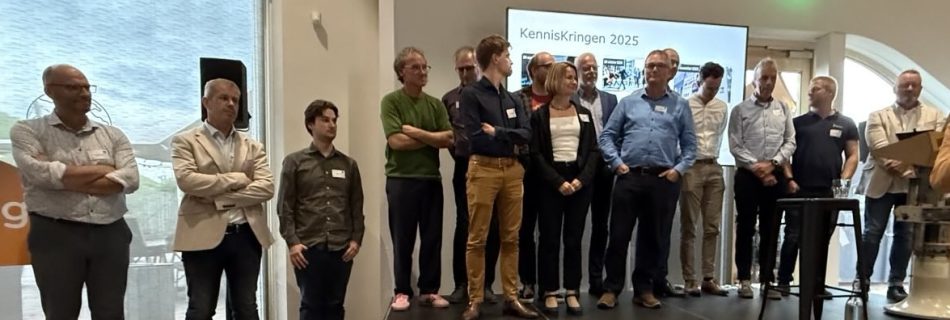
GeoStrategieDag 2025 – GeoFort
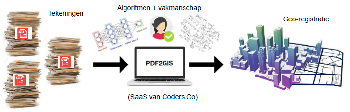
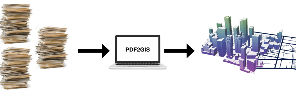
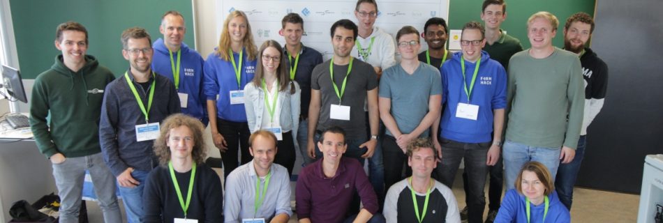
Op 25 september 2025 was het weer zover. Een nieuwe GeoStrategieDag georganiseerd door Ruimteschepper in en met Geofort in Herwijnen. Wat een geweldige locatie, waar geschiedenis en toekomst elkaar ontmoetten. De dag begon met de plenaire opening met drie interessante lezingen. Er gebeurt veel op het gebied van GIS en dataverzameling en -behandeling. Deze ontwikkelingen …